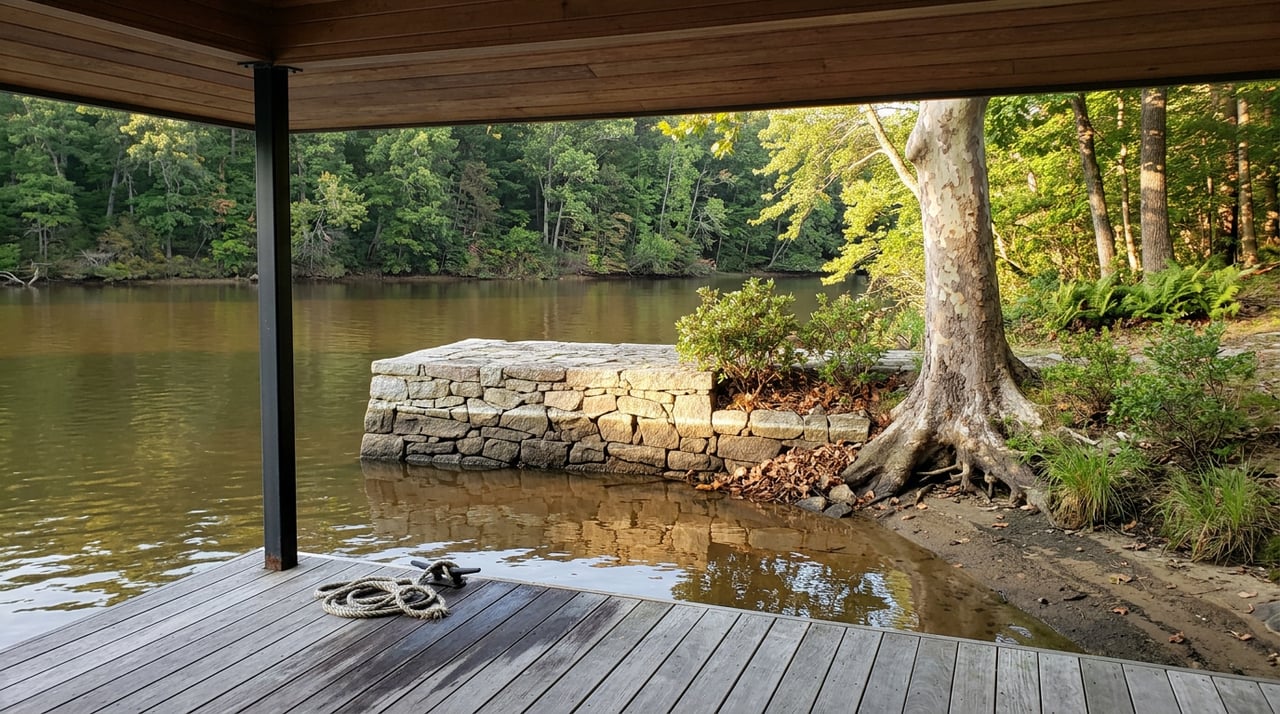
Every longtime Hart County boater knows the rhythm: the lake drops through winter, the Army Corps of Engineers draws it down for flood control, and spring rain brings it back before the first warm weekend. That rhythm broke this year, and the numbers show exactly when.
Lake Hartwell has spent 2026 stuck in a narrow band, roughly a foot and a half wide, sitting well below the 660-foot full pool mark the Corps uses as its benchmark. It hasn't recovered. It hasn't really moved. For anyone who launches a boat from a Hart County ramp, fishes the coves off Long Point, or keeps a dock on this lake, that stall matters more than the raw number does, because it changes what to expect for the rest of the season.
The Chart That Tells the Real Story
A single reading of "seven feet low" sounds like a dip that corrects itself. Stringing the readings together tells a different story.
| Date | Reported Level | Feet Below Full Pool (660 ft) |
|---|---|---|
| January 2026 | ~652 ft | ~8 ft |
| April 19, 2026 | 653.44 ft | 6.59 ft |
| May 21, 2026 | Over 7 ft low heading into Memorial Day | 7+ ft |
| July 1, 2026 | 653.22 ft | 6.78 ft |
| July 21, 2026 | 652.21 ft | 7.79 ft |
| August 6, 2026 | 652.31 ft | 7.69 ft |
The April reading from the Corps' own database had already sat unchanged for 30 straight days when it was reported. That same drought had the U.S. Drought Monitor rating the Anderson County shoreline, just across the lake from Hart County, at D3, extreme drought, as of February 2026. By the time Fox Carolina covered the lake ahead of Memorial Day weekend, the level was still more than seven feet down, and the Corps was pointing to roughly a 30-inch rainfall deficit across the upper Savannah River basin dating back to January 2025. The most recent weekly reading shows the lake up just 0.12 feet from the week before, essentially flat, even as the broader drought classification eased to "abnormally dry" by early August.
That's eight months of essentially flat water. A normal drought year sees a trough and a recovery. This one has produced a plateau.
Why Rain Isn't Fixing It
The instinct is to assume the Corps is simply choosing not to hold water back, and locals have voiced that complaint for years. The actual mechanism is more specific, and it explains why local rain doesn't translate into a rising lake the way residents expect.
Once a reservoir like Hartwell hits its first drought trigger level, the Corps stops releasing water for the sole purpose of generating hydropower. From that point on, it only generates electricity incidentally, while releasing water to meet obligations further down the Savannah River, obligations that exist because that river doesn't stop at the South Carolina and Georgia state line. It runs all the way to the Atlantic, carrying municipal water supply and navigation needs for communities well downstream of Hartwell's shoreline. A good rain here can refill inflow without refilling the reservoir, because the water headed into the lake is often the same water still owed further downstream.
Lake Hartwell has been sitting in what the Corps classifies as Drought Trigger Level 2, a status that kicks in once the level drops to or below 654 feet, for most of the year. That threshold explains why the ramp closures haven't been a one-time event. They've been a slow accumulation.
The Ramps That Are Actually Closed
By midsummer, the Corps' closure list ran well past a single ramp or a single county. The closures included:
- Durham Access, Fair Play, SC
- Jenkins Ferry, Stephens County, GA (right lane only, left lane still usable)
- Hattons Ford, Townville, SC (left lane)
- Tabor, Oconee County, SC
- Townville Landing, Townville, SC
- Big Oaks Mega Ramp, Hartwell, GA (left lane)
- Apple Island, Townville, SC
- Poplar Springs, Gumlog, GA (left lane)
- Broyles boat ramp, Townville, SC (left lane)
Back in January, when the Corps made its first round of closures, the pattern looked different. The shutdowns were concentrated on the South Carolina side, including ramps at Durham, Hattons Ford, Springfield Campground, and Townville in Anderson County, plus Tabor and Oconee Point Campground in Oconee County. On the Georgia side, only the right lane at Jenkins Ferry was closed. By summer, Georgia's own shoreline had picked up two more closures, at Big Oaks Mega Ramp and Poplar Springs, both restricted to their left lanes.
Then Hart County's own boat ramps started closing outright. By early July, the Corps closed Reed Creek off Sarijon Road, with the lake at 652.29 feet. A few weeks later, Rocky Ford, a Corps-owned ramp managed directly by Hart County, was deemed unsafe and closed too, with the level essentially unchanged at 652.21 feet. The drought that started as a South Carolina shoreline problem had reached Hart County's own launch points by midyear.
If a favorite launch point has been closed since January, it's worth checking the current list again before a trip. The pattern this year has been closures adding up, not clearing off.
What's Under the Waterline Now
Corps Ranger Annette Dotson put the practical risk plainly ahead of Memorial Day weekend:
"If you have that favorite cove that you've always played in before, it may not be there now. It could be dry. There could be hazards lurking just under the water's surface that were not a problem before the last time that you came to the lake when it was in full pool."
That's not a caution reserved for unfamiliar boaters. Sandbars, stumps, and drop-offs that sat safely underwater for years are closer to the surface now than most people fishing or swimming this lake have ever seen them. The Georgia Department of Natural Resources ran extra patrols through the holiday weekend and offered free boat safety inspections at Twin Lakes Landing, checking life jackets and registration before anyone put in. Anglers report the water itself is still clear, and fishing has stayed strong off points, humps, and ledges, but the margin for error at the ramp and around the shoreline has gotten thinner.
For context, this isn't the lake at its worst. The record low on Hartwell was 637.49 feet, set on December 9, 2008, which was 22.5 feet below full pool. Today's level is roughly 8 feet low, well above that mark, and still above the 642.4-foot low recorded in 1981. The lake's average elevation over time runs around 657.5 feet, so this year sits a bit under five and a half feet below what's typical, not catastrophic, but persistent in a way that hasn't shown signs of breaking.
Downtown Hartwell Isn't Waiting on the Lake
None of this has slowed down the calendar a mile inland. Downtown Hartwell, founded in 1854 as the Hart County seat and home to storefronts dating from 1879 to 1925, runs its own summer independent of the shoreline.
The Cars & Guitars Festival filled the square on May 23 with more than 100 classic cars, live music from DJ Tommy Landrum, shopping, food, and vendor booths, all free to attend as a kickoff to Memorial Day weekend. A month later, the Portuguese Water Dog Spring Water Trials brought a different kind of crowd to the lake on June 26, and the Pre-4th Fireworks Celebration lit up Long Point Recreation Area the following day with food trucks and live entertainment before the fireworks started.
Shops along the square have kept their own rhythm too. Southern Hart Brewing Company, Market 50, and Little Japan sit within a short walk of newer additions like South Forest Station, Wild Child Market, and G's Southern, all inside a downtown that's been a designated Georgia Main Street City since 1997. For a break from the boat ramp math, Cateechee Golf Club, an Audubon Signature course, and the Center of the World Monument and Hart County Historical Museum give residents somewhere to spend a Saturday that doesn't depend on the lake level at all.
What This Means for the Rest of the Season
The flat line in the data is the actual story here. A lake that dips and refills in a normal year gives boaters a clear signal: wait for the rain, and the coves come back. A lake that's held between 652 and 654 feet for eight straight months, through a Memorial Day, a Fourth of July, and now the back half of summer, is telling a different story. The rain that has come hasn't reached the reservoir in a way that shows up on the gauge, because the Corps' drought-level rules keep pulling water toward downstream obligations rather than local recovery.
For anyone planning the rest of the boating season, or the fall that follows it, the smarter assumption is that today's shoreline, ramps, and hazards are close to what to expect through the end of the year, not a temporary condition waiting on the next storm.
If the low water has you rethinking what your dock, your access, or your shoreline actually looks like right now, that's a conversation Cann Realty has with Hart County property owners often. You can always request a free property valuation to see where things stand, on your schedule, no lake level required.